Dec 28, 2023 | Blog, Destinations, Private Pilot Training
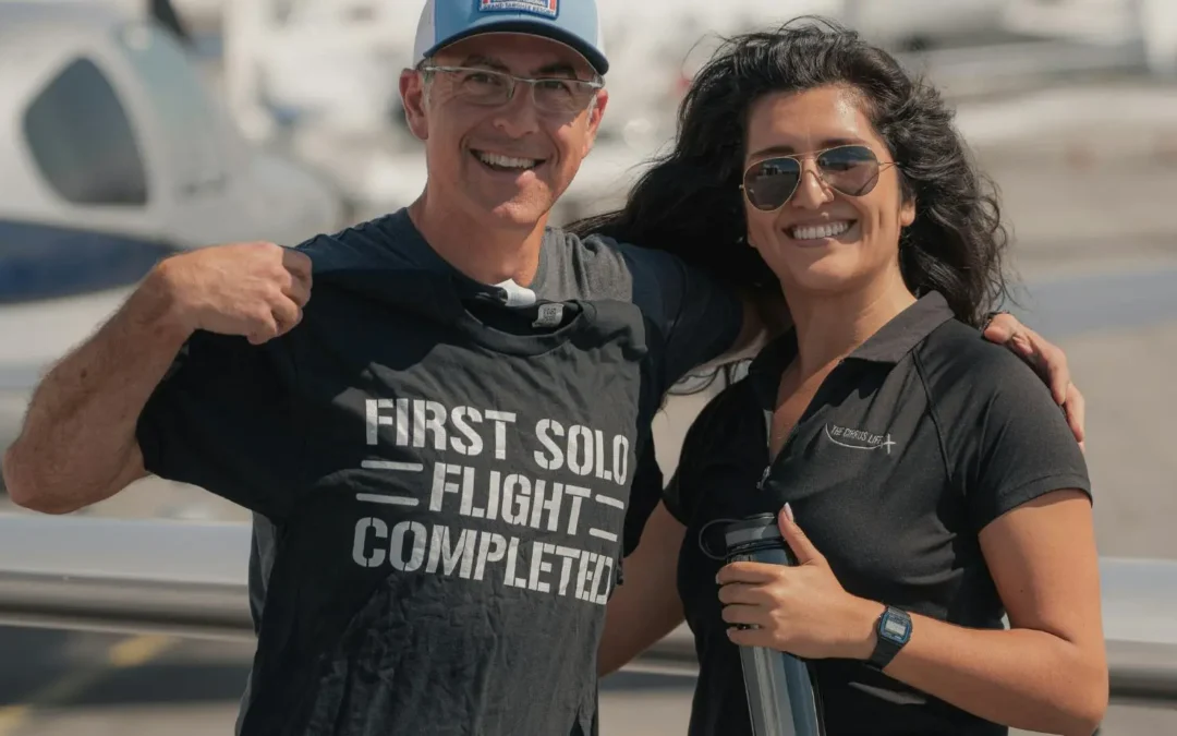
The magnetic allure of the skies, with the freedom of clouds, the exhilaration of take-offs and landings, and the panoramic views thousands of feet above ground level, captivates many. But is the investment in becoming a private pilot worth it? This question frequently arises among those contemplating private pilot training. In this blog post, Mach 1 Aviation will dissect what it truly takes to become a private pilot and assess whether the venture is worthwhile.
Understanding Private Pilot Training
Before evaluating the worthiness of private pilot training, it’s crucial to comprehend the intricacies of the training itself. Tailored for aspiring pilots, this training aims to equip them with the skills and knowledge required to safely navigate single-engine aircraft. It encompasses various facets of aviation, including navigation, flight planning, aircraft operations, and emergency procedures.
Private pilot training typically incorporates both ground school (classroom learning) and flight instruction (practical learning), with an average duration of 6-12 months depending on individual progress.
The Cost of Becoming a Private Pilot
A significant deterrent for many potential aviators is the cost associated with private pilot training. The total expenditure can vary from $8,000 to $15,000, contingent on factors such as location, lesson frequency, and the type of aircraft used for training.
This cost encompasses flight instructor fees, aircraft rental fees (inclusive of fuel), ground school tuition fees, books and materials costs, as well as examination fees. While it might appear steep initially, when compared to other long-term hobbies like golfing or boating, the investment may not seem as prohibitive.
The Benefits of Being a Private Pilot
Beyond the thrill of flying an aircraft, there are numerous advantages to obtaining a private pilot license:
- Freedom and Flexibility: Private pilots enjoy the freedom to fly wherever and whenever within regulatory limits, opening up new travel possibilities and enhancing convenience.
- Personal Development: The challenging journey of learning to fly fosters personal growth, boosting confidence, improving decision-making skills, and instilling discipline.
- Career Opportunities: While a private pilot license doesn’t permit commercial flying, it often serves as the initial step toward a career as a commercial pilot.
Is Becoming a Private Pilot Worth It?
The answer hinges on individual circumstances and aspirations. For those with a genuine passion for aviation, financial means, and a willingness to invest time, becoming a private pilot can be profoundly rewarding.
However, if motivations are solely based on saving travel time or seeking a ‘cool’ factor, the costs of maintaining a license and aircraft rental or ownership might outweigh the benefits.
Take to the Skies with Mach 1 Aviation!
Private pilot training demands a substantial investment of time and money, but for those genuinely passionate about aviation, the rewards far surpass the costs. The freedom of flight, personal development opportunities, potential career paths, and the sheer joy of piloting make this endeavor worth serious consideration.
Embark on your aviation journey today with Mach 1 Aviation! If you’re still uncertain about committing to private pilot training, take a decisive step by scheduling an introductory flight lesson. This firsthand experience could provide invaluable insights before fully embracing the captivating world of aviation. Contact Mach 1 Aviation now to start your journey skyward!

Nov 11, 2021 | Destinations
Catalina offers an incredibly scenic getaway just a short hop from the busy Los Angeles Basin. Perched 1602 feet above the Pacific Ocean, Catalina Island’s Airport-In-The-Sky is located approximately 10 miles from Avalon in the Island’s interior. The asphalt-paved runway is 3,250 feet long. The airport is owned and operated by the Catalina Island Conservancy, which charges a $30 landing fee to use the facility. Overnight tie-downs are available. And since the airport is quite some distance from the beautiful Avalon, the Conservancy also operates a shuttle service between the airport and Avalon. Please contact the airport for service and fee information: 310-510-0143. The shuttle service does take some time and runs on a set schedule, so make sure to call in advance and plan accordingly. Otherwise you might be spending a night in Catalina.
Landing at Catalina is a challenging proposition for an inexperienced pilot. The narrow runway is bordered on either end by steep cliffs. Runway illusions are present and the steeper than normal gradient of the narrow runway further complicates the equation. Straight in approaches are frowned upon and for good reason. Due to the visual illusions, it’s quite common to come in at a much shallower than ideal glide angle, resulting in a dangerous potential CFIT scenario.
We strongly recommend working with an instructor or, at minimum, a familiar pilot on how to safely operate in and out of this airport. Just take note that pattern work is not allowed on the weekends and the airport has published hours for transient traffic.
AIRPORT SPECIFICS
-
DC3 Gifts and Grill is the on-field restaurant and it has a phenomenal assortment of quick and easy bites. You can check out the menu on their website www.catalinadc3.com.
-
Landing fee: $30 paid at the observation tower
-
No touch and goes.
-
Runway 22 is the preferred landing runway. Beware of steep downgrade landing on 04.
HOW TO GET THERE
Departing from Van Nuys you have a few different options. The one we would recommend, and arguably the easiest and safest, is to transition the LAX Bravo shelf via the LAX Special Flight Rules. If you’re not familiar, give us a call and one of our instructors would be happy to help you get acquainted. You can find the Special Flight Rules on your TAC. Or if you’re a ForeFlight user, go to Documents > FAA > Visual Chart Supplemental > Los Angeles TAC Supplemental. Once you exit the Special Flight Rules to the south, pay attention to the Bravo shelves and head to Point Vicente (just SW of KTOA). From there, you can proceed direct to the twin harbors (the little harbors NW of KAVX) and turn to enter the downwind ans you approach the field. Again, pay special attention to the Bravo shelves. We also recommend carrying water survival equipment (read life vests) since you will be flying over water for at least a few minutes.
Legal Disclaimer:
The above information is presented for education purposes only and is not designed to replace official information or navigational sources. Always consult your regional Chart Supplement (A/FD) and NOTAMS for complete and official information.

Nov 11, 2021 | Destinations
The Camarillo Airport (CMA), as it is known today, was the former Oxnard Air Force Base. The base was established in the early 1950’s for coastal defense and a variety of military aircraft operated here until 1969 when the base was deactivated. After a lengthy surplus process, CMA officially opened as a General Aviation airport in 1976 and occupies approximately 650 acres of land.
The close proximity to the Los Angeles Basin makes Camarillo a fantastic short hop destination. From the beautiful vistas surrounding the airport, the phenomenal Waypoint Cafe neighboring the transient ramp, to the unique collection of aircraft at the CAF museum, Camarillo is a great anytime stop.
There’s not a ton to take note, except that the runway does have a significant displacement. Otherwise, the airport is fairly standard. However, due to the runway orientation, during sunrise and sunset periods, and especially if landing on 26, a sun glare can pose a significant hazard to landing and pilots need take special care during their approach. Camarillo is also known for quickly rolling marine layers and gusty winds during certain times of year.
AIRPORT SPECIFICS
-
Waypoint Cafe is the on-field destination. Great food and directly neighbors the transient ramp. Can get a little packed on weekends, so plan accordingly. www.thewaypointcafe.com
-
Landing fee: No landing fee but there are overnight fees.
-
The airport is heavily utilized for training so traffic congestion can get fairly heavy.
-
The runway is adjacent to the helicopter training pads (to the north) and the ultralight runway (to the south).
-
The runway is frequented by wildlife and bird activity is quite common.
HOW TO GET THERE
Departing from Van Nuys, and depending on the direction of departure, you have two main options. Follow the 101 Freeway westbound to the Canejo Grade (visual reporting point due east of Camarillo) or go through the Santa Susana Pass (visual reporting point due WNW of Van Nuys). Either of these routes will take you westbound out of Van Nuys. From there, it’s a fairly straight shot to Camarillo. Just make sure to call Camarillo tower with plenty of advance, especially on a busy day. It’s not uncommon for you to be sequenced in a lengthy line on approach. Also, we recommend flight following as both of these routes will take you through busy general aviation training areas.
Legal Disclaimer:
The above information is presented for education purposes only and is not designed to replace official information or navigational sources. Always consult your regional Chart Supplement (A/FD) and NOTAMS for complete and official information.

Nov 11, 2021 | Destinations
Nestled in the San Bernardino mountain range, Big Bear Airport is the quickest destination for a mountain getaway. It’s the primary airport for those flying into the resorts of Big Bear Lake. Snow Summit, Bear Mountain and other destinations are just minutes away—which means it’s always a good time to visit. Images of shushing down steep mountain slopes on skis, hooking a 2-pound trout on Big Bear Lake; hiking scenic sections of the famous Pacific Crest Trail; or staying at a rustic cabin with a crackling fireplace, surrounded by pine trees. These are the rewards of pilots successfully navigating into this high-altitude valley.
This mountain airstrip is 6,750′ above sea level (second highest in California) with pattern altitude at 8,000′ MSL (1,250) above ground level), so your aircraft performance should be figured using the corrected ‘density altitude’ numbers; many mishaps are caused by not leaning your mixture for best performance before takeoff, overloading the craft on a warm summer day, or miscalculating how many feet of runway will be used before your plane becomes airborne.
For noise abatement and safety, arrivals should remain at 9,500 feet above the ridge south of the lake and city before entering the pattern on a 45-degree angle and turning downwind. When you depart in either direction you should turn left 10 degrees to avoid residential areas and schools.
Big Bear offers unparalleled beauty alongside a challenging operating environment. If you don’t have high altitude or mountain Flying Lessons Los Angeles, we recommend working with an instructor or, at minimum, an experienced pilot, to familiarize yourself with the hazards associated with operating at high density altitude airports.
AIRPORT SPECIFICS
-
The Barnstorm restaurant overlooks the transient ramp and is accessible from the terminal. The breakfast burritos are top notch.
-
There’s shuttle and taxi services (request from the terminal).
-
Landing fee: No landing fees, but there are overnight/tiedown fees.
-
Specific noise abatement procedures exist so be sure to familiarize yourself prior to venturing.
-
No straight-in approaches. Always aim to overfly and enter on the downwind.
-
Be mindful of wind conditions. The terrain neighboring the runway sets up an ideal stage for hazardous conditions on strong wind days.
-
Leverage the AWOS. Due to the field elevation, it’s common for the altimeter setting to big significantly different from your approach.
HOW TO GET THERE
Venturing to Big Bear from Van Nuys is a relatively easy task. Depending on weather conditions, there’s a couple of different routes pilots can take. The most direct is an easterly departure over the 101 through the Burbank Charlie and via El Monte (KEMT), Ontario (KONT), San Bernardino (KSBD), and then over the dam (the westernmost tip of Big Bear Lake). The alternative route has you departing Van Nuys to the north, through the Newhall Pass (directly north of KVNY), then via Agua Dulce (L70), then directly east towards Victorville (KVCV), then flying past Big Bear Lake to the east before turning back and approaching from the west. Just make sure you’re mindful of terrain clearance altitudes and evaluate weather conditions around Big Bear. Orographic lifting can create weather/clouds in the area.
Legal Disclaimer:
The above information is presented for education purposes only and is not designed to replace official information or navigational sources. Always consult your regional Chart Supplement (A/FD) and NOTAMS for complete and official information.

Nov 11, 2021 | Destinations
The Half Moon Bay Airport is located on the scenic Northern California coast about 20 miles south of San Francisco. It was constructed by the California State Highway Department for the U.S. Army in 1942. The Army turned the Airport over to the Navy following the end of WWII and the County acquired the Airport from the Navy in 1947. The spectacular coastline around the airport makes for a truly amazing approach.
Once you park, the marina is just a short walk offering fantastic eats. And if you’re in the mood for an adventure, the nearby beach offers a great opportunity to walk off those eats. In fact, the local area is littered with incredible vistas and scenic hikes. But by far the best part of Half Moon Bay aside from the epic flight along the coastline to get there, is the town itself.
Year-round camping is also available. The camping areas are grassy fields (for tent camping). Each camping area has a fire pit, fire wood, fire extinguisher, picnic table, and shared portable restroom. Camping is included in the overnight transient ramp parking fee ($15-25/night). No advance reservations are required and space available on a first come-first served basis. Camping is limited to 5 nights per month, per aircraft/airport user.
Carefully evaluate the weather before venturing up to Half Moon Bay. Since the airport sits along the coast, IFR conditions are very common, especially in summer months. The weather can change quickly so plan accordingly.
AIRPORT SPECIFICS
-
Marine layers can be very common during summer months.
-
Landing Fee: None but overnight/tiedown fee.
-
Pattern work is discouraged.
-
Noise abatement procedures exist and can be found here.
-
Unexpected turbulent conditions can be encountered on approach to runway 12.
-
FBO is very limited due to ongoing renovations; call in advance to verify fuel availability.
-
If on flight following, very likely to lose radio coverage with Oakland as you descend into airport. If that happens, call FSS and ask them to relay to Oakland that you landed safely.
HOW TO GET THERE
The trek to Half Moon Bay from Van Nuys can take you down several paths. Depending if you’re flying VFR or IFR, the routing will take you northbound. Flying up the coast can be tempting, but be wary of MOAs and Restricted Areas along that route. We always recommend being on flight following throughout your journey. Also be careful, if following the coast up, to account for those “what if” moments. There are several stretches along the coast with no airports in range and where emergency landing sites are scarce. Sticking in land as you trek up may be less scenic, but offers more pit stops and a greater margin of safety.
Legal Disclaimer:
The above information is presented for education purposes only and is not designed to replace official information or navigational sources. Always consult your regional Chart Supplement (A/FD) and NOTAMS for complete and official information.

Nov 11, 2021 | Destinations
When it comes to fun places to visit, it doesn’t get easier than San Luis Obispo. It’s basically the halfway point between San Francisco and Los Angeles so just a short hop from Van Nuys. The airport is nestled in a beautiful valley surrounded by ancient peaks formed by volcanic activity. But what really makes San Luis Obispo stand out from many other charming California coastal towns and airport destinations is that it offers a wide array of many different vibes. From the picaresque beaches, a well establish wine scene, to the delicious food options, San Luis Obispo offers a much more family friendly option than Napa and Sonoma. It offers a lot.
The airport is a part time Delta and has a fairly docile temperament. The FBO, ACI Jet offers crew cars, vintage arcades, and a selection of free ice-cream. Yes, ice-cream. Just ask at the desk when you order fuel. There’s also a great on-field restaurant, the Spirit of San Luis, that overlooks the ramp. Even if you don’t venture outside of airport property, the field presents plenty of value.
Be wary of winds. Due to the surrounding terrain, high wind days present a challenging approach. The close proximity to the coast also represents the potential for IMC during summer months. Always carefully assess the weather before committing to a day or two of adventures in San Luis.
Lastly, the airport is also close proximity to Pismo Beach and Morro Bay. Both areas offer a spectacular array of eateries, adventures, and experiences.
AIRPORT SPECIFICS
- The Spirit of San Luis is an on-field restaurant and offers a good selection of delicious grub. www.thespiritofslo.com
- Landing fee: waived with the purchase of fuel.
- Lots of bird activity during winter months.
- Runway 29 is designated calm wind runway.
- Make sure to contact the FBO if you’re parking for more than 2 hours.
- Noise abatement procedures are in place. Make sure to review them here.
HOW TO GET THERE
Cross countries don’t get easier or prettier than this. The most scenic and enjoyable route (ceilings and winds permitting) is a wesbound departure from Van Nuys either over the 101 or through Santa Susana Pass depending on runway used. Then straight shot to Ventura, up along the PCH to Santa Barbara, then a northwesterly turn to Santa Maria (KSMX), before proceeding straight to San Luis Obispo. You can certainly take a more direct route, but that path will offer a much more desolate scenic overlook and fewer landing options in case a “pit stop” arises.
Legal Disclaimer:
The above information is presented for education purposes only and is not designed to replace official information or navigational sources. Always consult your regional Chart Supplement (A/FD) and NOTAMS for complete and official information.


")


")


")


